


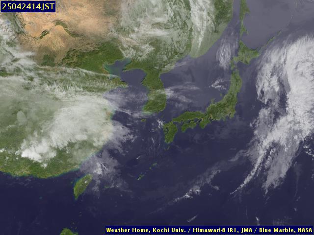
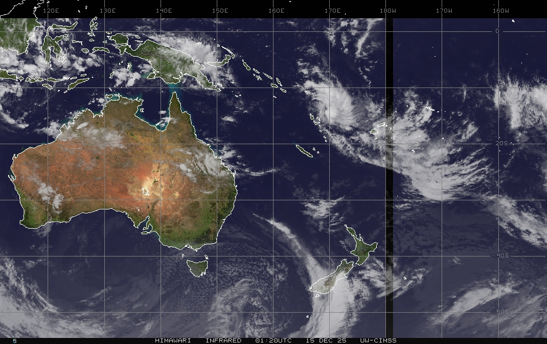
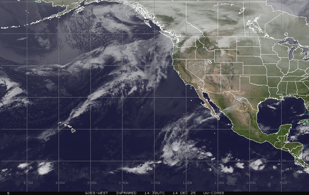
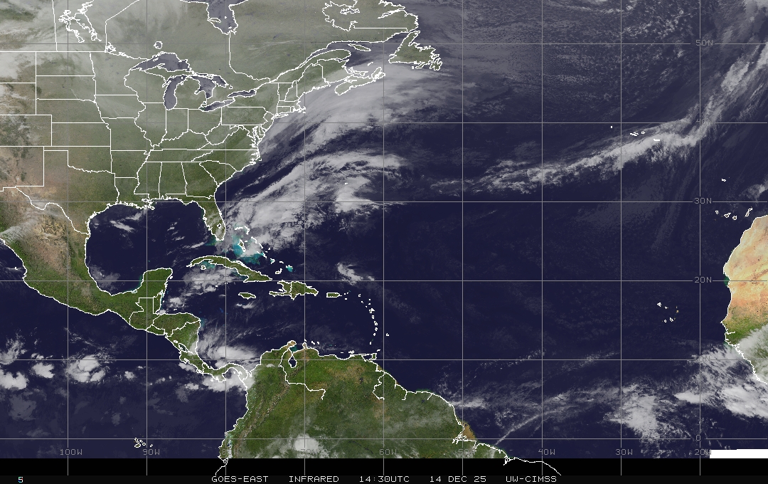
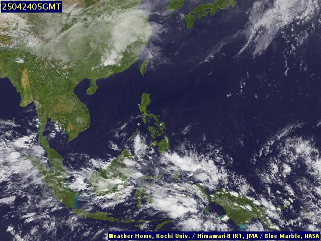
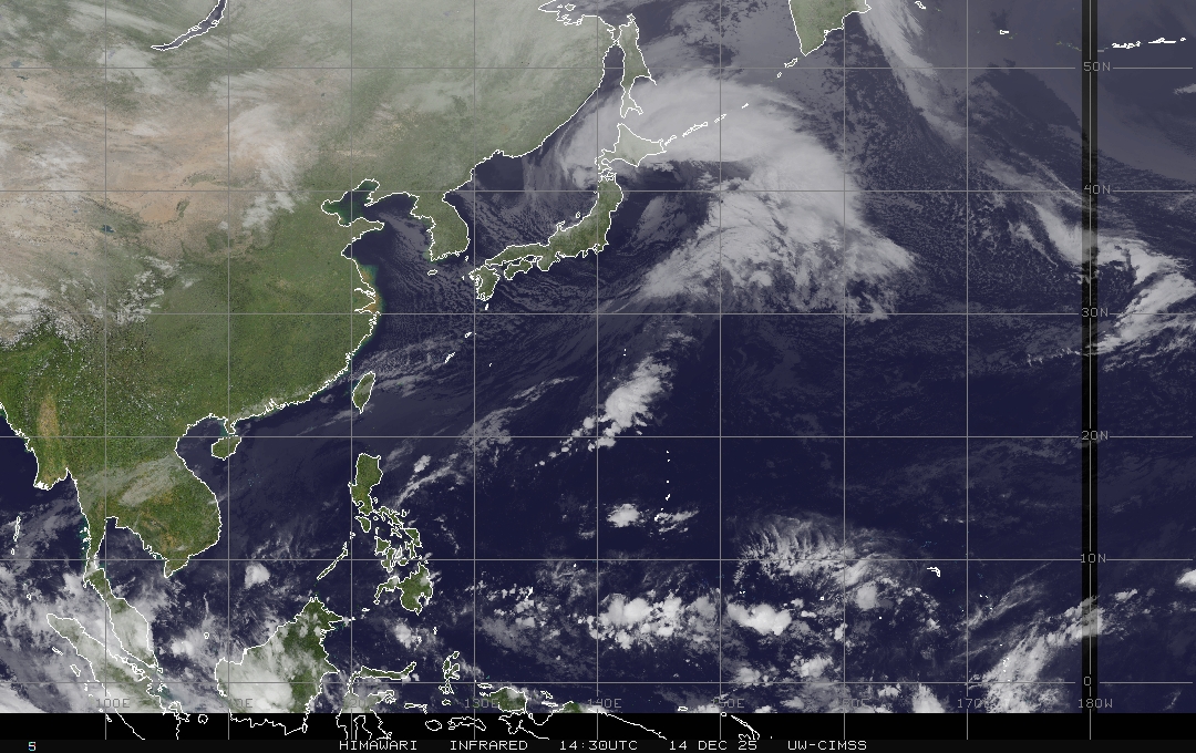
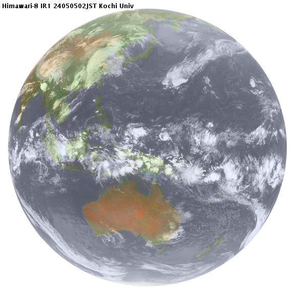
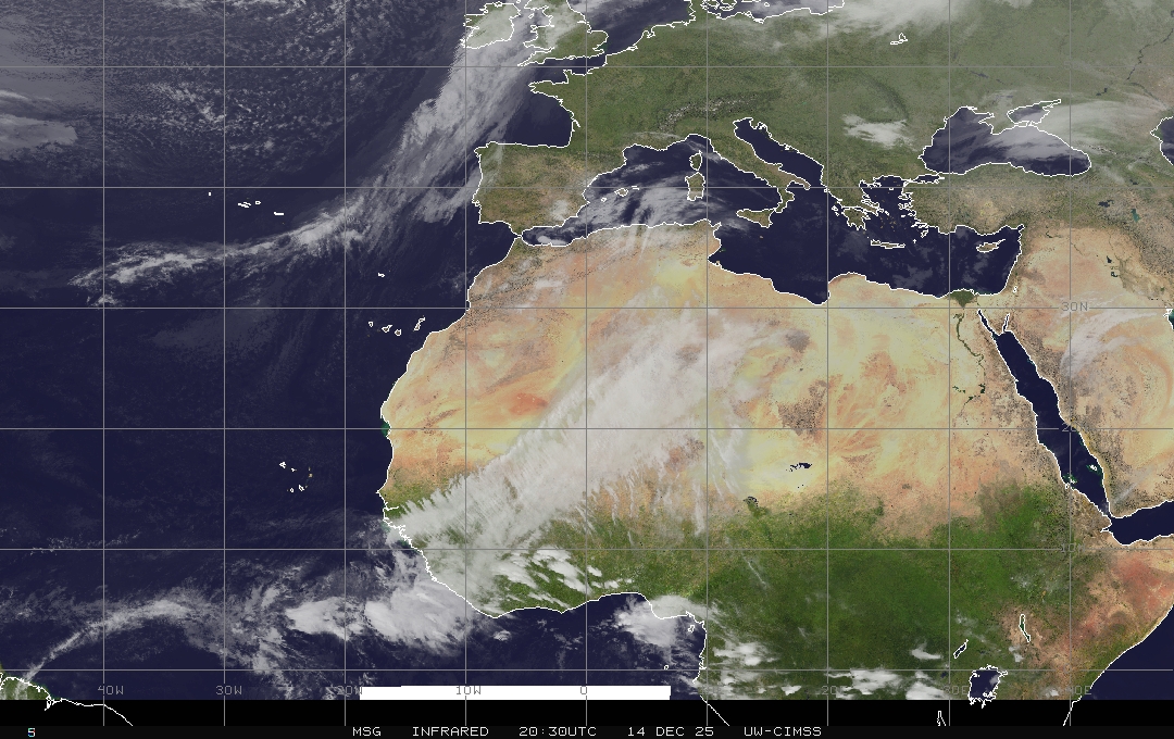
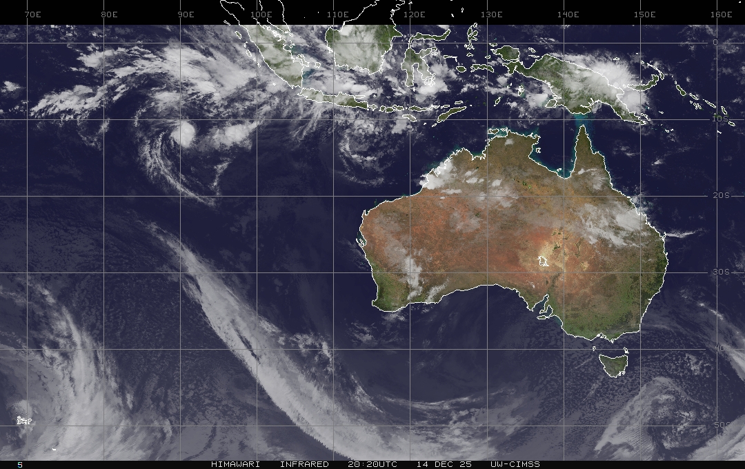
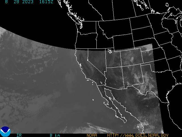
IR = Infrared Image VIS = Visible Image VISIR = Visible/Infrared Composite Image
Most images use Coordinated Universal Time (UTC) = (GMT) Greenwich Mean Time
All weather satellite images are linked here for casual viewing purposes only.
Copyrights for each image may apply for other use with their respective original website.
"Our Planet Earth From Space" - linked here with permission - Copyright Erich Habich © 2003
Page last updated: June 1, 2011